A recent study conducted by researchers at Virginia Tech has raised alarms about the potential for massive flooding and tsunamis impacting parts of the United States, particularly the Pacific Northwest. The study highlights the risks associated with the Cascadia Subduction Zone (CSZ), a fault line stretching from Northern California to Vancouver Island, British Columbia.
Understanding the Cascadia Subduction Zone
The CSZ is a convergent plate boundary where the Juan de Fuca Plate is subducting beneath the North American Plate. This geological setting is capable of producing powerful megathrust earthquakes, which can, in turn, generate devastating tsunamis.
Potential Impact Areas
Northern California
Coastal regions in Northern California are at significant risk due to their proximity to the CSZ. An earthquake in this area could lead to substantial land subsidence and increased vulnerability to flooding and tsunamis.
Oregon
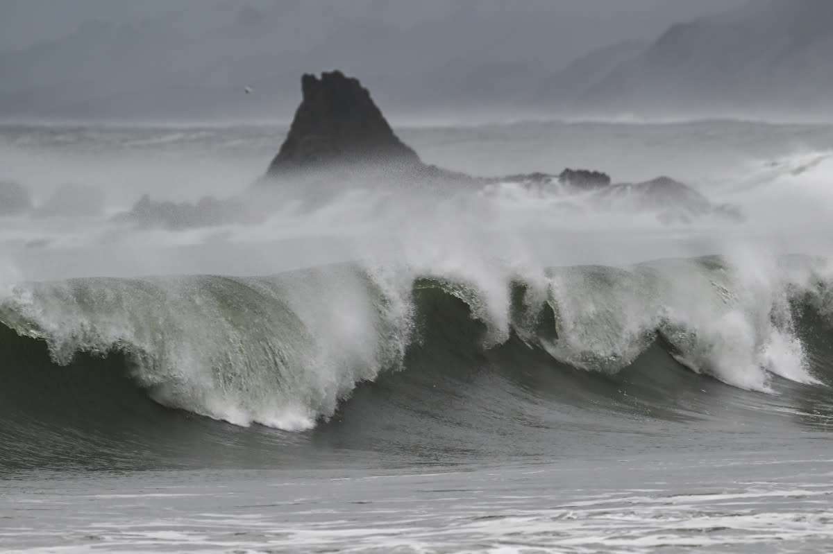
Oregon’s coastline, including cities like Portland, faces similar threats. The combination of seismic activity and rising sea levels could exacerbate the impact of potential tsunamis.
Washington
Washington State, particularly areas like Seattle, is also within the danger zone. The state’s extensive coastline and urban centers make it susceptible to the devastating effects of a mega-tsunami.
Historical Context
The last major earthquake along the CSZ occurred in 1700, producing a tsunami that reached as far as Japan. Geological evidence suggests that such events occur approximately every 500 years, indicating that the region is due for another significant seismic event.
Scientific Findings
The Virginia Tech study utilized advanced modeling techniques to simulate various earthquake scenarios. The findings indicate that a magnitude 8.0 or greater earthquake could cause coastal land to sink by up to 6.5 feet, expanding flood-prone areas and affecting thousands of residents and properties.
READ MUST: Deadly Windstorm and Rain Lash Punjab, Leaving 13 Dead and 90 Injured
Climate Change and Rising Sea Levels
Climate change is contributing to rising sea levels, which, when combined with land subsidence from an earthquake, could significantly increase the reach and impact of tsunamis. This dual threat underscores the urgency for updated preparedness measures.
Infrastructure and Preparedness
Current tsunami preparedness maps do not account for the compounded effects of sea-level rise and land subsidence. Updating these maps and implementing comprehensive emergency response plans are critical steps in mitigating potential disasters.
Conclusion
The study’s findings serve as a stark reminder of the natural hazards facing the U.S. Pacific Northwest. Proactive measures, including infrastructure improvements, public education, and updated emergency protocols, are essential in safeguarding communities against the looming threat of mega-tsunamis.
FAQs
1. What is the Cascadia Subduction Zone?
The CSZ is a 600-mile fault line off the Pacific Northwest coast where the Juan de Fuca Plate is subducting beneath the North American Plate, capable of producing powerful earthquakes and tsunamis.
2. How often do major earthquakes occur in the CSZ?
Historical records indicate that significant earthquakes occur in the CSZ approximately every 500 years, with the last major event occurring in 1700.
3. What areas are most at risk?
Coastal regions of Northern California, Oregon, and Washington are particularly vulnerable due to their proximity to the CSZ and potential for land subsidence.
4. How does climate change affect tsunami risk?
Rising sea levels from climate change can amplify the impact of tsunamis, increasing the reach of floodwaters and affecting more inland areas.
5. What can be done to prepare?
Updating emergency preparedness plans, infrastructure improvements, public education, and revising tsunami hazard maps to account for new data are crucial steps in mitigating risks.